Construction Verification
Move from think to know
Everyday construction verification systems
Everyday construction verification systems
Conduct Q&A checks on a daily basis
Verify your work before you leave for the day

Reduce risk of rework

Increase profitability

Reduce schedule delays
About the workflow
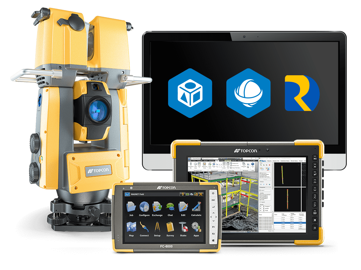
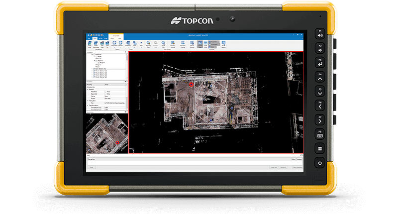
This solution streamlines as-built 3D data and QA/QC workflows to identify construction errors and variances, almost in real-time. The GTL adds the power of laser scanning to a robotic total station so you can capture the as-built data with the same instrument you use for layout. Combine the GTL with Verity’s automated QA/QC workflow to compare the as-built data against the BIM design model and quickly spot variances—so you can check all your work every day and catch errors faster.

Comparing the scan data with the BIM model enables construction-verification workflows that are up to 10 times faster than traditional spot-checking methods.
Market segments

Mechanical, electrical, and plumbing

Structural and
secondary steel

Structural concrete and floor flatness and levelness

Plant and equipment installation

Layout and
survey

Prefabricated and
modular
The complete solution
The workflows that control and manage data and deliverables set the GTL solution apart

The GTL solution replaces spot checks with a revolutionary process that does construction verification in hours instead of days, dramatically reducing errors and cost.
What is Construction Verification?
MAGNET and GT series building construction testimonial
Workflow benefits

Verify the accuracy of recently installed work
This solution compresses layout, 3D scanning, and data processing into just a few steps. The result is a fast construction QA/QC workflow you can use to verify 100% of your recent work in the time it would take to spot check about 5% of that work using traditional methods.

Reduce rework, redesign, and other project costs
The rapid QA workflow identifies construction mistakes before they become expensive problems. The GTL-1200 combines layout and scanning functionality into a single instrument, eliminating the costs of buying and managing separate equipment, extra training, and larger on-site crews.

Get more accurate quality assessments
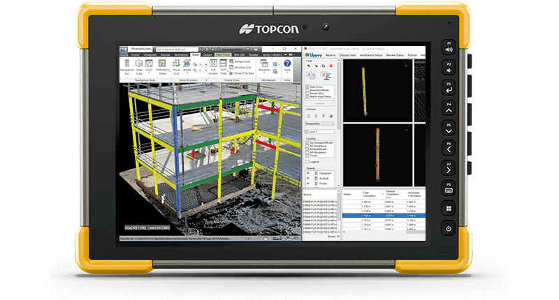
Most 3D QA/QC software relies on visual heat maps to display variances. Verity’s sophisticated computer-vision algorithms also calculate quantitative-variance data for each individual element. This provides a far more accurate, detailed quality check of the project’s conformance to the design.

Automatically update as-built models in Autodesk®️ Navisworks®️
With a single click, update coordination models in Navisworks to reflect real-world conditions. Export point clouds for out-of-tolerance elements to the proper design platform so subcontractors can make updates quickly.

Share findings with all stakeholders
Collage Web offers a user-friendly online interface for viewing point clouds for collaboration with stakeholders.
How does it work?

SCAN/LAYOUT

PROCESS

As-Built & Verify
Download GTL Construction Verification Brochure
Insights & testimonials

Topcon expands construction layout portfolio with LN-50
LIVERMORE, Calif. – October 4, 2023 – Topcon Positioning Systems announces the launch...

TOPCON POSITIONING GB PROVIDES SURVEYING SOFTWARE FOR THE CLEVELAND...
The Cleveland Pools is Britain’s oldest lido, dating back more than 200 years. The Pools was a...
We've got you covered
Need more info?
We can email you additional product information. Your contact information will never be shared.
See it in action
Your local dealer can't wait to show you what we can do for your business.


